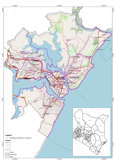
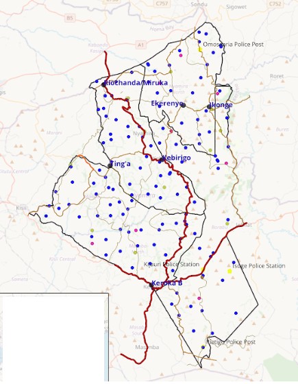
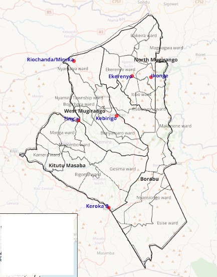

Analysis of settlement distribution, housing density, and spatial growth patterns using GIS to identify development trends, pressure areas, and planning implications for urban and peri-urban contexts.
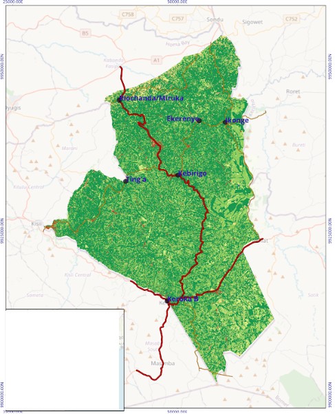
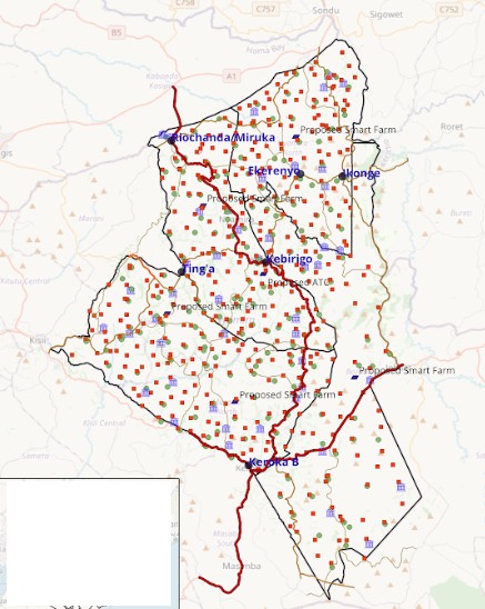
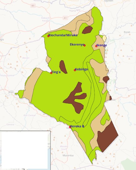
Analysis of land use patterns and spatial relationships using GIS to understand how land is allocated, utilized, and changing over time. This includes examining land cover, zoning patterns, development intensity, and spatial compatibility to support planning decisions, identify conflicts, and inform sustainable land use management.
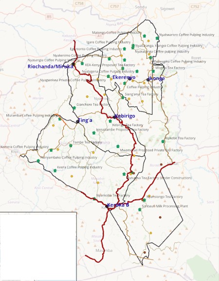
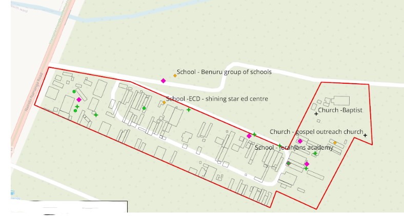
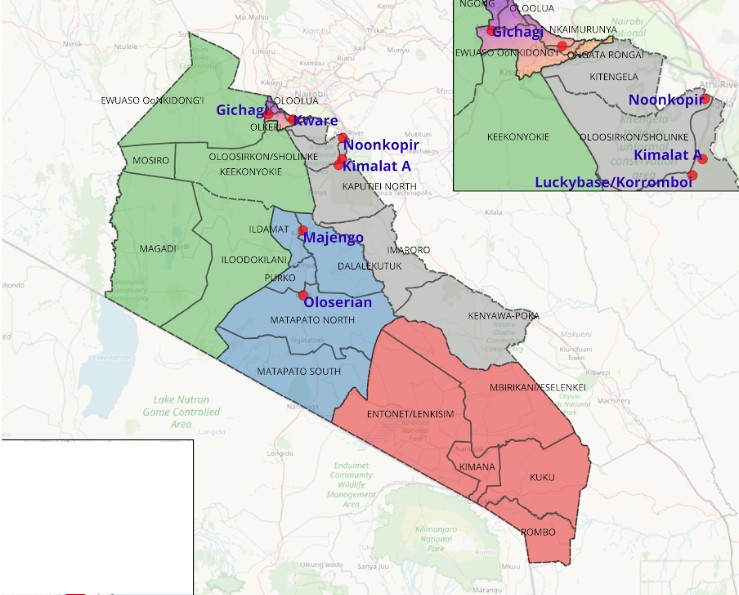
Mapping and analysis of physical and service networks such as transport corridors, utilities, and public infrastructure using GIS. This work focuses on understanding connectivity, accessibility, service coverage, and network efficiency to support infrastructure planning, service delivery assessment, and spatial decision-making.
Management and preparation of geospatial datasets to ensure accuracy, consistency, and reliability for analysis and mapping. This includes data cleaning, validation, quality control, coordinate system management, and integration of multiple spatial layers to create strong foundations for spatial analysis and evidence-based planning.
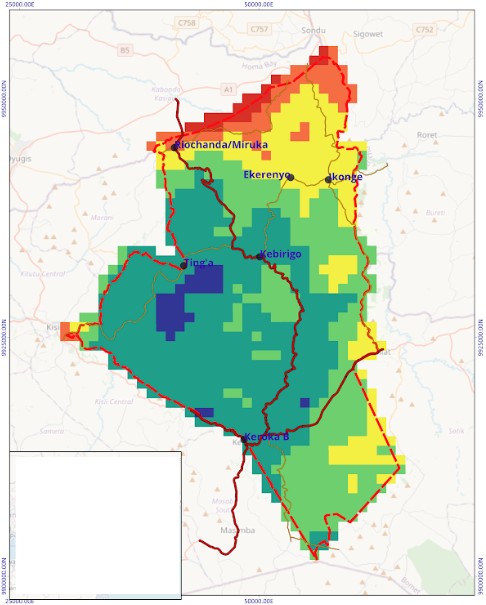
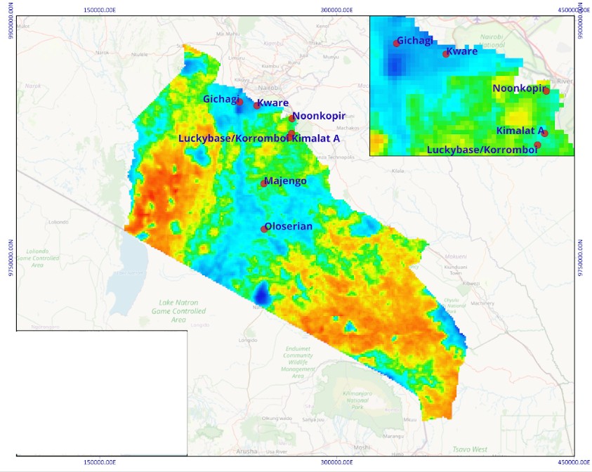
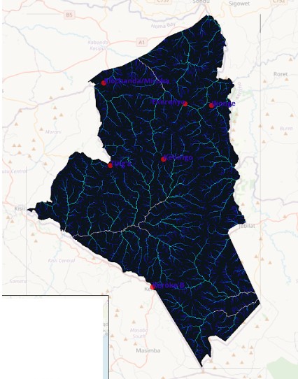
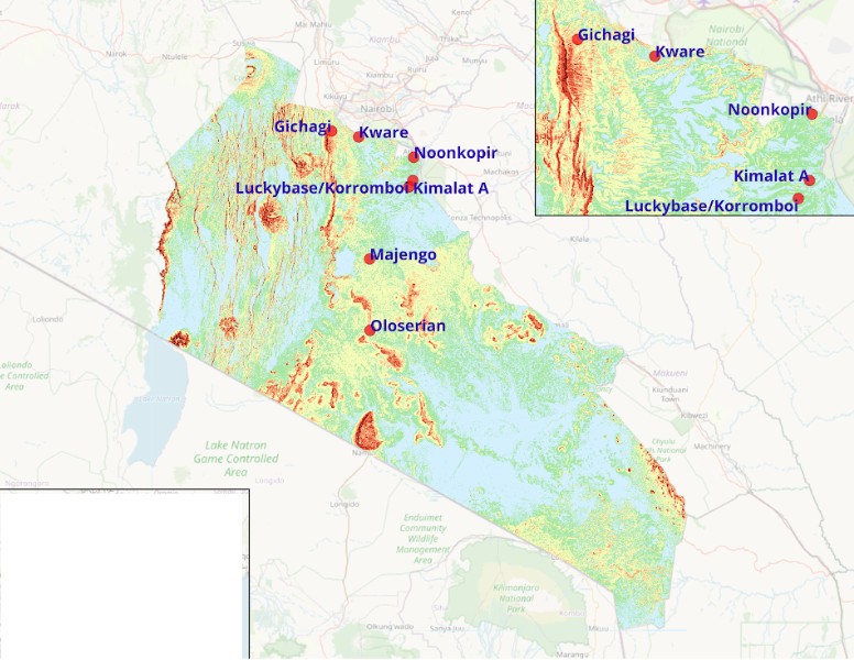
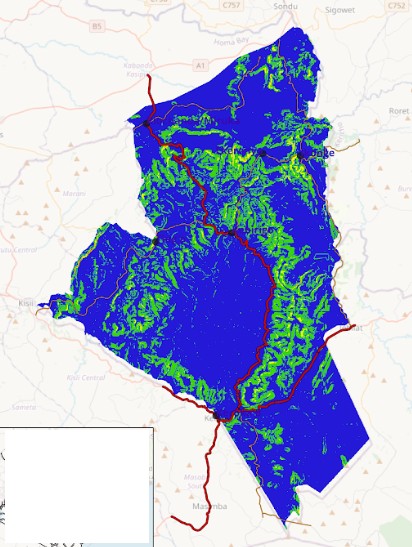
Mapping and analysis of environmental conditions and risk factors to understand spatial vulnerability and development constraints. GIS is used to support planning decisions related to environmental management, suitability assessment, and risk-informed development.
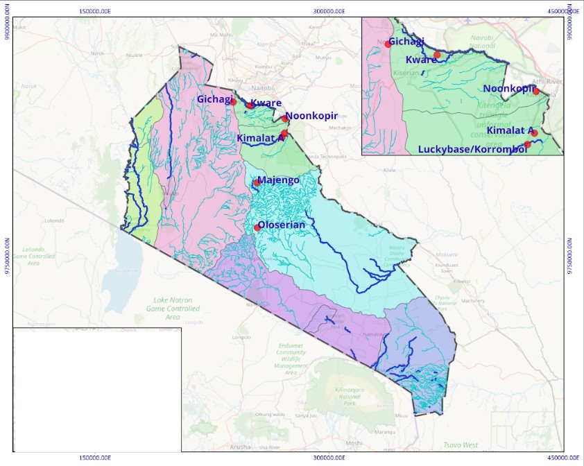
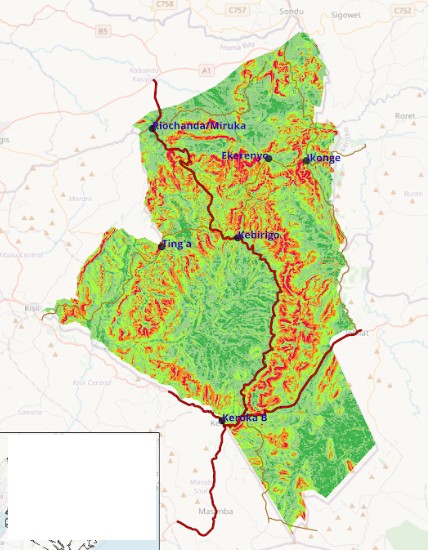
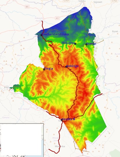
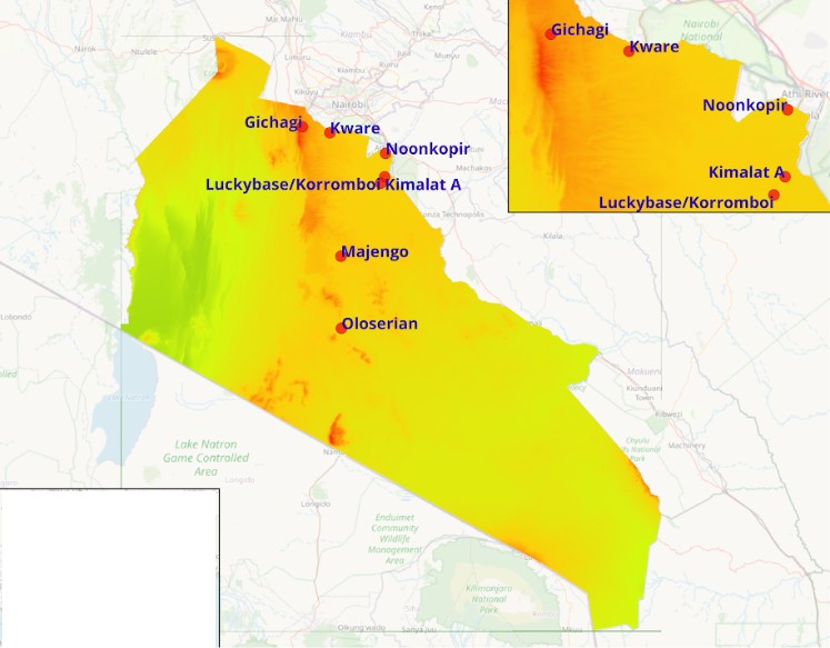
Analysis of terrain and physical characteristics using elevation-based datasets to understand slope, relief, and surface variation. GIS techniques are applied to support infrastructure planning, environmental assessment, and spatial suitability analysis.
Management and preparation of geospatial datasets to ensure accuracy, consistency, and reliability for analysis and mapping. This includes data cleaning, validation, quality control, coordinate system management, and integration of multiple spatial layers to create strong foundations for spatial analysis and evidence-based planning.