
Integrating Remote Sensing Data with GIS for Environmental Monitoring
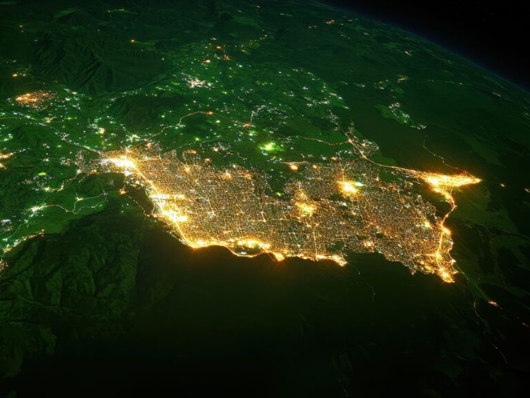
Remote sensing and GIS (Geographic Information Systems) are powerful tools on their own, but when combined, they transform how we monitor and manage environmental conditions. From tracking deforestation and urban expansion to detecting water quality changes and climate impacts, the integration of remote sensing data with GIS allows scientists, governments, and environmental managers to make…